Walk Maps Updated
First published in 2011, the 8 Walk Maps and River Ver Trail leaflet have recently had a well-deserved makeover. Now’s the perfect time to discover the River Ver using this series of short circular walks combining the Ver and surrounding countryside. Alternatively take the River Ver Trail on a 17 mile walk from the source to confluence with the Colne.
Download the maps from our walks page.
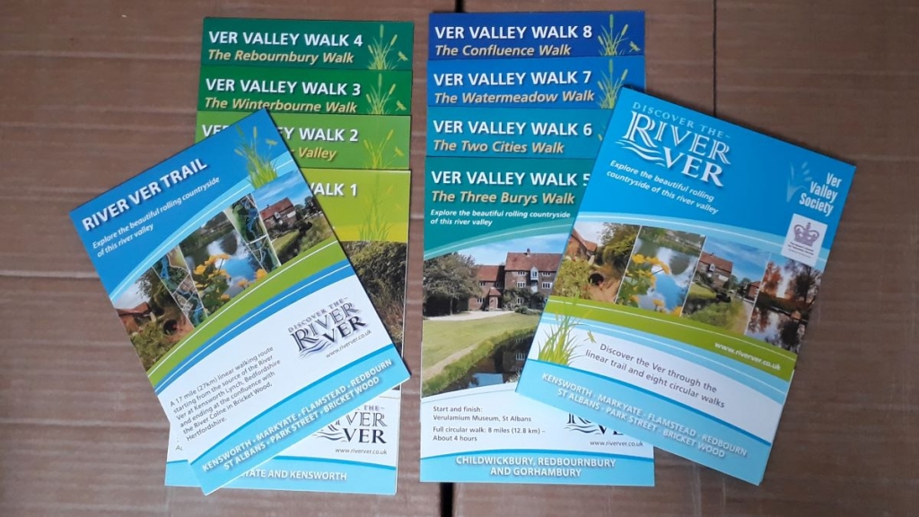
In 2021 members and friends of the Ver Valley Society revisited the walks, updated the text, sourced new photography to give the 8 Walk Maps and the River Ver Trail Walk Map a complete makeover.
Our thanks to the Chilterns Conservation Board and the Chiltern Chalk Streams Project for a match-funded contribution to design costs and Veolia UK at Redbournbury for using their community fund for printed copies.
In 2022 we will be concentrating on revitalising the wayposts and walks’ signage to make walking the rotes as easy as possible.